
天堂顶 topographic map
Interactive map
Click on the map to display elevation.
About this map
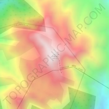
Name: 天堂顶 topographic map, elevation, terrain.
Location: 天堂顶, 江华瑶族自治县, 永州市, 湖南省, 中国 (24.69990 111.58892 24.70000 111.58902)
Average elevation: 1,437 m
Minimum elevation: 881 m
Maximum elevation: 1,817 m
Other topographic maps
Click on a map to view its topography, its elevation and its terrain.