
江华县 topographic map
Interactive map
Click on the map to display elevation.
About this map
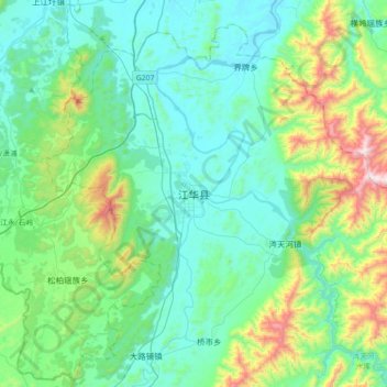
Name: 江华县 topographic map, elevation, terrain.
Location: 江华县, 江华瑶族自治县, 永州市, 湖南省, 中国 (25.02796 111.41454 25.34796 111.73454)
Average elevation: 407 m
Minimum elevation: 183 m
Maximum elevation: 1,285 m
Other topographic maps
Click on a map to view its topography, its elevation and its terrain.