
结多乡 topographic map
Interactive map
Click on the map to display elevation.
About this map
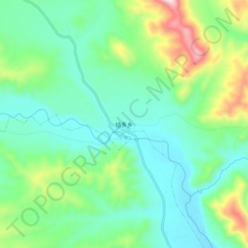
Name: 结多乡 topographic map, elevation, terrain.
Location: 结多乡, 杂多县, 玉树藏族自治州, 青海省, 中国 (32.66438 95.12065 32.74438 95.20065)
Average elevation: 4,407 m
Minimum elevation: 4,251 m
Maximum elevation: 4,853 m
Other topographic maps
Click on a map to view its topography, its elevation and its terrain.