
杂多县 topographic map
Interactive map
Click on the map to display elevation.
About this map
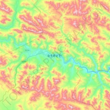
Name: 杂多县 topographic map, elevation, terrain.
Location: 杂多县, 萨呼腾镇, 杂多县, 玉树藏族自治州, 青海省, 中国 (32.73476 95.13589 33.05476 95.45589)
Average elevation: 4,614 m
Minimum elevation: 4,001 m
Maximum elevation: 5,448 m
Other topographic maps
Click on a map to view its topography, its elevation and its terrain.