
冉子可 topographic map
Interactive map
Click on the map to display elevation.
About this map
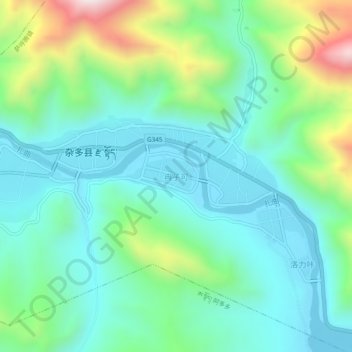
Name: 冉子可 topographic map, elevation, terrain.
Location: 冉子可, 萨呼腾镇, 杂多县, 玉树藏族自治州, 青海省, 中国 (32.87183 95.28745 32.91183 95.32745)
Average elevation: 4,245 m
Minimum elevation: 4,049 m
Maximum elevation: 4,817 m