
罗坪山 topographic map
Interactive map
Click on the map to display elevation.
About this map
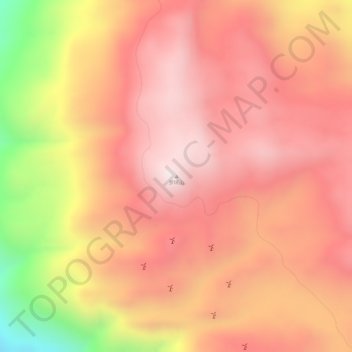
Name: 罗坪山 topographic map, elevation, terrain.
Location: 罗坪山, 洱源县, 大理白族自治州, 云南省, 中国 (26.07075 99.83943 26.07085 99.83953)
Average elevation: 3,446 m
Minimum elevation: 2,991 m
Maximum elevation: 3,645 m
Other topographic maps
Click on a map to view its topography, its elevation and its terrain.