
牛街乡 topographic map
Interactive map
Click on the map to display elevation.
About this map
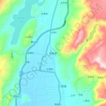
Name: 牛街乡 topographic map, elevation, terrain.
Location: 牛街乡, 洱源县, 大理白族自治州, 云南省, 中国 (26.21414 99.95020 26.29414 100.03020)
Average elevation: 2,280 m
Minimum elevation: 2,080 m
Maximum elevation: 2,836 m
Other topographic maps
Click on a map to view its topography, its elevation and its terrain.