
九龍寨城公園 topographic map
Interactive map
Click on the map to display elevation.
About this map
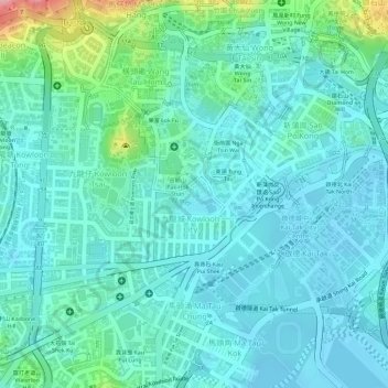
Name: 九龍寨城公園 topographic map, elevation, terrain.
Location: 九龍寨城公園, 靠背石, 九龍城, 九龍城區, 九龍, 香港, 中国 (22.33107 114.18893 22.33323 114.19159)
Average elevation: 28 m
Minimum elevation: -3 m
Maximum elevation: 132 m
Other topographic maps
Click on a map to view its topography, its elevation and its terrain.