
禾场头 topographic map
Interactive map
Click on the map to display elevation.
About this map
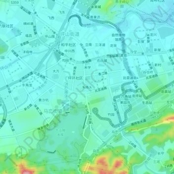
Name: 禾场头 topographic map, elevation, terrain.
Location: 禾场头, 马峦街道, 坪山区, 深圳市, 广东省, 518118, 中国 (22.66150 114.32563 22.70150 114.36563)
Average elevation: 53 m
Minimum elevation: 27 m
Maximum elevation: 186 m
Other topographic maps
Click on a map to view its topography, its elevation and its terrain.