
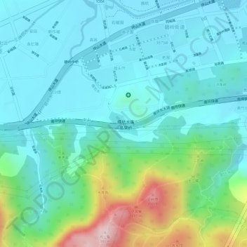
横坑水库 topographic map
Interactive map
Click on the map to display elevation.
About this map
Name: 横坑水库 topographic map, elevation, terrain.
Location: 横坑水库, 拔头吓, 碧岭街道, 坪山区, 深圳市, 广东省, 中国 (22.66032 114.29708 22.66300 114.30073)
Average elevation: 120 m
Minimum elevation: 41 m
Maximum elevation: 375 m