
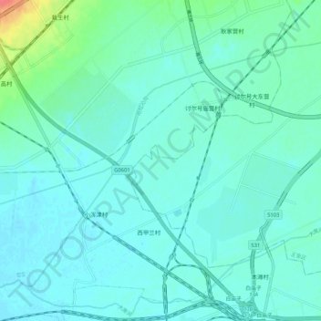
哈拉沁沟 topographic map
Interactive map
Click on the map to display elevation.
About this map
Name: 哈拉沁沟 topographic map, elevation, terrain.
Location: 哈拉沁沟, 土默特左旗, 呼和浩特市, 内蒙古自治区, 010100, 中国 (40.68197 111.46718 40.74346 111.57056)
Average elevation: 1,022 m
Minimum elevation: 1,013 m
Maximum elevation: 1,065 m
Other topographic maps
Click on a map to view its topography, its elevation and its terrain.