
中山村 topographic map
Interactive map
Click on the map to display elevation.
About this map
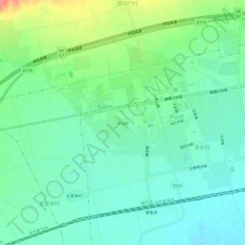
Name: 中山村 topographic map, elevation, terrain.
Location: 中山村, 察素齐镇, 土默特左旗, 呼和浩特市, 内蒙古自治区, 中国 (40.69726 111.09323 40.73726 111.13323)
Average elevation: 1,035 m
Minimum elevation: 1,011 m
Maximum elevation: 1,095 m