
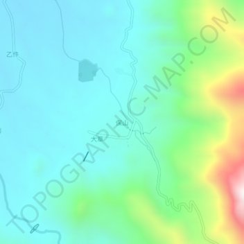
保山 topographic map
Interactive map
Click on the map to display elevation.
About this map
Name: 保山 topographic map, elevation, terrain.
Location: 保山, 昌江黎族自治县, 海南省, 中国 (19.05573 109.05922 19.09573 109.09922)
Average elevation: 301 m
Minimum elevation: 101 m
Maximum elevation: 1,010 m
Other topographic maps
Click on a map to view its topography, its elevation and its terrain.