
大风村 topographic map
Interactive map
Click on the map to display elevation.
About this map
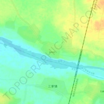
Name: 大风村 topographic map, elevation, terrain.
Location: 大风村, 昌江黎族自治县, 海南省, 中国 (19.23719 108.73727 19.27719 108.77727)
Average elevation: 17 m
Minimum elevation: 3 m
Maximum elevation: 35 m
Other topographic maps
Click on a map to view its topography, its elevation and its terrain.