
吉阳区 topographic map
Interactive map
Click on the map to display elevation.
About this map
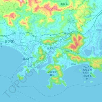
Name: 吉阳区 topographic map, elevation, terrain.
Location: 吉阳区, 三亚市, 海南省, 中国 (18.14384 109.45078 18.40263 109.75720)
Average elevation: 77 m
Minimum elevation: -4 m
Maximum elevation: 737 m
Other topographic maps
Click on a map to view its topography, its elevation and its terrain.