
三亚河 topographic map
Interactive map
Click on the map to display elevation.
About this map
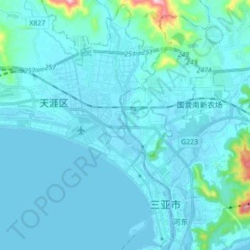
Name: 三亚河 topographic map, elevation, terrain.
Location: 三亚河, 天涯镇, 天涯区, 三亚市, 海南省, 572012, 中国 (18.23172 109.46940 18.34909 109.50740)
Average elevation: 28 m
Minimum elevation: -4 m
Maximum elevation: 391 m