
海棠区 topographic map
Interactive map
Click on the map to display elevation.
About this map
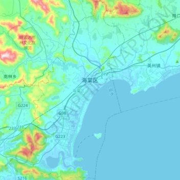
Name: 海棠区 topographic map, elevation, terrain.
Location: 海棠区, 三亚市, 海南省, 572013, 中国 (18.24050 109.64619 18.52922 109.80695)
Average elevation: 78 m
Minimum elevation: -7 m
Maximum elevation: 760 m
Other topographic maps
Click on a map to view its topography, its elevation and its terrain.