
禾秧山 topographic map
Interactive map
Click on the map to display elevation.
About this map
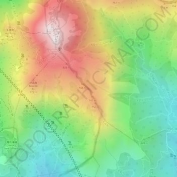
Name: 禾秧山 topographic map, elevation, terrain.
Location: 禾秧山, 新界, 荃灣區, 香港, 中国 (22.40246 114.12998 22.40256 114.13008)
Average elevation: 555 m
Minimum elevation: 216 m
Maximum elevation: 949 m
Other topographic maps
Click on a map to view its topography, its elevation and its terrain.