
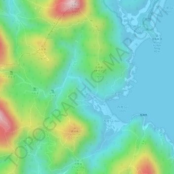
四疊潭 topographic map
Interactive map
Click on the map to display elevation.
About this map
Name: 四疊潭 topographic map, elevation, terrain.
Location: 四疊潭, Maclehose Trail, 鹹田, 新界, 西貢區, 香港, DD255 367, 中国 (22.40236 114.36688 22.40246 114.36698)
Average elevation: 99 m
Minimum elevation: -4 m
Maximum elevation: 342 m