
于家务村 topographic map
Interactive map
Click on the map to display elevation.
About this map
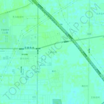
Name: 于家务村 topographic map, elevation, terrain.
Location: 于家务村, 通州区, 北京市, 100032, 中国 (39.69602 116.68429 39.73602 116.72429)
Average elevation: 20 m
Minimum elevation: 16 m
Maximum elevation: 22 m
Other topographic maps
Click on a map to view its topography, its elevation and its terrain.