
柴厂屯村 topographic map
Interactive map
Click on the map to display elevation.
About this map
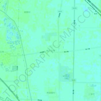
Name: 柴厂屯村 topographic map, elevation, terrain.
Location: 柴厂屯村, 通州区, 北京市, 中国 (39.61729 116.74522 39.65729 116.78522)
Average elevation: 14 m
Minimum elevation: 11 m
Maximum elevation: 17 m
Other topographic maps
Click on a map to view its topography, its elevation and its terrain.