
宋庄村 topographic map
Interactive map
Click on the map to display elevation.
About this map
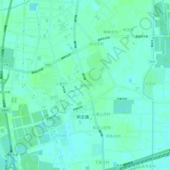
Name: 宋庄村 topographic map, elevation, terrain.
Location: 宋庄村, 通州区, 北京市, 中国 (39.92683 116.70316 39.96683 116.74316)
Average elevation: 25 m
Minimum elevation: 21 m
Maximum elevation: 28 m
Other topographic maps
Click on a map to view its topography, its elevation and its terrain.