
朝晖街道 topographic map
Interactive map
Click on the map to display elevation.
About this map
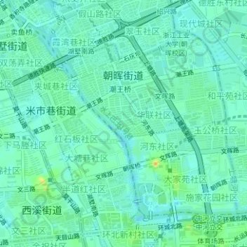
Name: 朝晖街道 topographic map, elevation, terrain.
Location: 朝晖街道, 拱墅区, 杭州市, 浙江省, 310014, 中国 (30.27700 120.14775 30.29724 120.16939)
Average elevation: 12 m
Minimum elevation: 4 m
Maximum elevation: 33 m
Other topographic maps
Click on a map to view its topography, its elevation and its terrain.