
石桥街道 topographic map
Interactive map
Click on the map to display elevation.
About this map
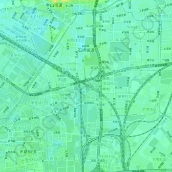
Name: 石桥街道 topographic map, elevation, terrain.
Location: 石桥街道, 拱墅区, 杭州市, 浙江省, 中国 (30.30759 120.16737 30.35339 120.20784)
Average elevation: 9 m
Minimum elevation: 2 m
Maximum elevation: 23 m
Other topographic maps
Click on a map to view its topography, its elevation and its terrain.