
辛店河 topographic map
Interactive map
Click on the map to display elevation.
About this map
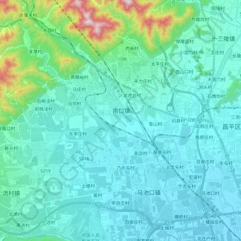
Name: 辛店河 topographic map, elevation, terrain.
Location: 辛店河, 昌平区, 北京市, 102202, 中国 (40.15290 116.06643 40.29283 116.18615)
Average elevation: 153 m
Minimum elevation: 44 m
Maximum elevation: 853 m
Other topographic maps
Click on a map to view its topography, its elevation and its terrain.