
松兰堡村 topographic map
Interactive map
Click on the map to display elevation.
About this map
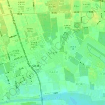
Name: 松兰堡村 topographic map, elevation, terrain.
Location: 松兰堡村, 昌平区, 北京市, 102206, 中国 (40.13297 116.27294 40.17297 116.31294)
Average elevation: 43 m
Minimum elevation: 34 m
Maximum elevation: 51 m
Other topographic maps
Click on a map to view its topography, its elevation and its terrain.