
沙井镇 topographic map
Interactive map
Click on the map to display elevation.
About this map
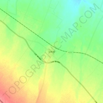
Name: 沙井镇 topographic map, elevation, terrain.
Location: 沙井镇, 甘州区, 张掖市, 甘肃省, 734000, 中国 (39.05945 100.22748 39.13945 100.30748)
Average elevation: 1,459 m
Minimum elevation: 1,429 m
Maximum elevation: 1,497 m
Other topographic maps
Click on a map to view its topography, its elevation and its terrain.