
尕海 topographic map
Interactive map
Click on the map to display elevation.
About this map
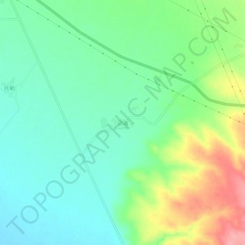
Name: 尕海 topographic map, elevation, terrain.
Location: 尕海, 海晏县, 海北藏族自治州, 青海省, 中国 (37.11094 100.54736 37.15094 100.58736)
Average elevation: 3,279 m
Minimum elevation: 3,241 m
Maximum elevation: 3,357 m
Other topographic maps
Click on a map to view its topography, its elevation and its terrain.