
西海镇 topographic map
Interactive map
Click on the map to display elevation.
About this map
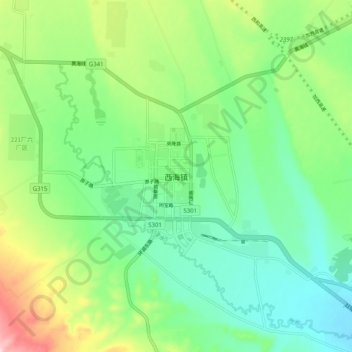
Name: 西海镇 topographic map, elevation, terrain.
Location: 西海镇, 海晏县, 海北藏族自治州, 青海省, 中国 (36.91846 100.86137 36.99846 100.94137)
Average elevation: 3,118 m
Minimum elevation: 3,041 m
Maximum elevation: 3,288 m
Other topographic maps
Click on a map to view its topography, its elevation and its terrain.