
雅星镇 topographic map
Interactive map
Click on the map to display elevation.
About this map
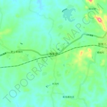
Name: 雅星镇 topographic map, elevation, terrain.
Location: 雅星镇, 儋州市, 海南省, 571727, 中国 (19.40628 109.22507 19.48628 109.30507)
Average elevation: 132 m
Minimum elevation: 93 m
Maximum elevation: 269 m
Other topographic maps
Click on a map to view its topography, its elevation and its terrain.