
长辛店村 topographic map
Interactive map
Click on the map to display elevation.
About this map
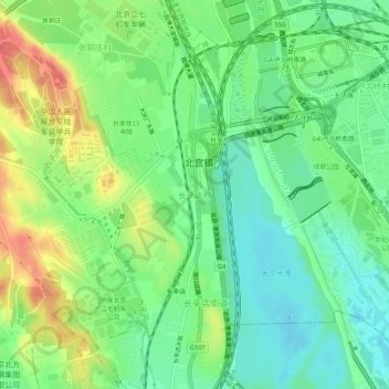
Name: 长辛店村 topographic map, elevation, terrain.
Location: 长辛店村, 丰台区, 北京市, 100074, 中国 (39.81618 116.18296 39.85618 116.22296)
Average elevation: 63 m
Minimum elevation: 40 m
Maximum elevation: 99 m
Other topographic maps
Click on a map to view its topography, its elevation and its terrain.