
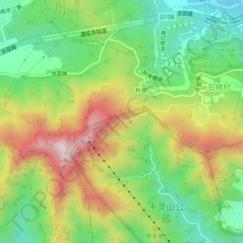
龙泉 topographic map
Interactive map
Click on the map to display elevation.
About this map
Name: 龙泉 topographic map, elevation, terrain.
Location: 龙泉, 仙人谷登山步道, 丰台区, 北京市, 中国 (39.86778 116.06846 39.86788 116.06856)
Average elevation: 355 m
Minimum elevation: 136 m
Maximum elevation: 659 m
Other topographic maps
Click on a map to view its topography, its elevation and its terrain.