
阳河村 topographic map
Interactive map
Click on the map to display elevation.
About this map
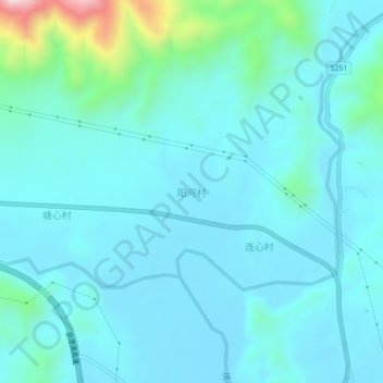
Name: 阳河村 topographic map, elevation, terrain.
Location: 阳河村, 翁源县, 韶关市, 广东省, 中国 (24.46999 113.78656 24.50999 113.82656)
Average elevation: 191 m
Minimum elevation: 121 m
Maximum elevation: 638 m
Other topographic maps
Click on a map to view its topography, its elevation and its terrain.