
群陂村 topographic map
Interactive map
Click on the map to display elevation.
About this map
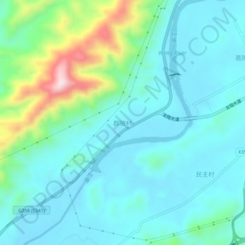
Name: 群陂村 topographic map, elevation, terrain.
Location: 群陂村, 翁源县, 韶关市, 广东省, 中国 (24.32098 114.05955 24.36098 114.09955)
Average elevation: 190 m
Minimum elevation: 113 m
Maximum elevation: 495 m
Other topographic maps
Click on a map to view its topography, its elevation and its terrain.