
翁源县 topographic map
Interactive map
Click on the map to display elevation.
About this map
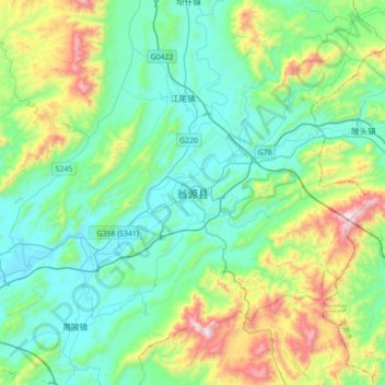
Name: 翁源县 topographic map, elevation, terrain.
Location: 翁源县, 韶关市, 广东省, 中国 (24.19805 113.96879 24.51805 114.28879)
Average elevation: 361 m
Minimum elevation: 104 m
Maximum elevation: 1,192 m
Other topographic maps
Click on a map to view its topography, its elevation and its terrain.