
唐闸 topographic map
Interactive map
Click on the map to display elevation.
About this map
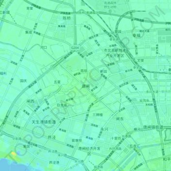
Name: 唐闸 topographic map, elevation, terrain.
Location: 唐闸, 南通市, 江苏省, 中国 (32.02505 120.76836 32.10505 120.84836)
Average elevation: 5 m
Minimum elevation: -7 m
Maximum elevation: 19 m
Other topographic maps
Click on a map to view its topography, its elevation and its terrain.