
秀山 topographic map
Interactive map
Click on the map to display elevation.
About this map
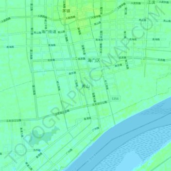
Name: 秀山 topographic map, elevation, terrain.
Location: 秀山, 南通市, 江苏省, 中国 (31.82074 121.13264 31.90074 121.21264)
Average elevation: 4 m
Minimum elevation: 0 m
Maximum elevation: 7 m
Other topographic maps
Click on a map to view its topography, its elevation and its terrain.