
白蕉镇 topographic map
Interactive map
Click on the map to display elevation.
About this map
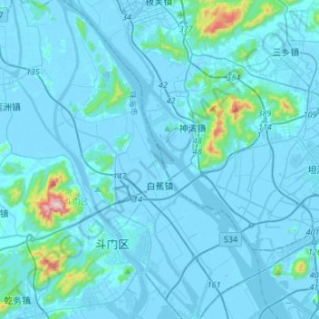
Name: 白蕉镇 topographic map, elevation, terrain.
Location: 白蕉镇, 斗门区, 珠海市, 广东省, 中国 (22.15301 113.24277 22.39998 113.41427)
Average elevation: 31 m
Minimum elevation: -8 m
Maximum elevation: 564 m
Other topographic maps
Click on a map to view its topography, its elevation and its terrain.