
莲洲镇 topographic map
Interactive map
Click on the map to display elevation.
About this map
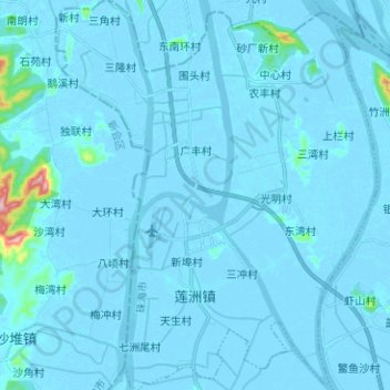
Name: 莲洲镇 topographic map, elevation, terrain.
Location: 莲洲镇, 斗门区, 珠海市, 广东省, 中国 (22.28977 113.15803 22.40609 113.26187)
Average elevation: 7 m
Minimum elevation: -5 m
Maximum elevation: 235 m
Other topographic maps
Click on a map to view its topography, its elevation and its terrain.