
天成围 topographic map
Interactive map
Click on the map to display elevation.
About this map
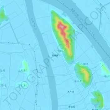
Name: 天成围 topographic map, elevation, terrain.
Location: 天成围, 斗门区, 珠海市, 广东省, 中国 (22.35145 113.24202 22.39145 113.28202)
Average elevation: 7 m
Minimum elevation: -3 m
Maximum elevation: 163 m
Other topographic maps
Click on a map to view its topography, its elevation and its terrain.