
三岸村 topographic map
Interactive map
Click on the map to display elevation.
About this map
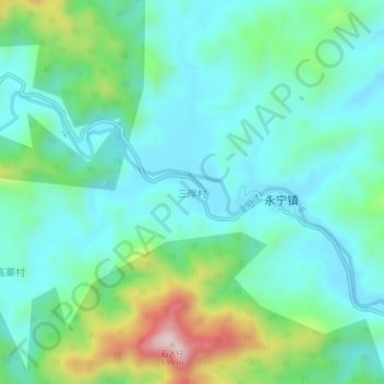
Name: 三岸村 topographic map, elevation, terrain.
Location: 三岸村, 阳春市, 阳江市, 广东省, 中国 (22.24204 111.56968 22.28204 111.60968)
Average elevation: 268 m
Minimum elevation: 168 m
Maximum elevation: 583 m
Other topographic maps
Click on a map to view its topography, its elevation and its terrain.