
春城街道 topographic map
Interactive map
Click on the map to display elevation.
About this map
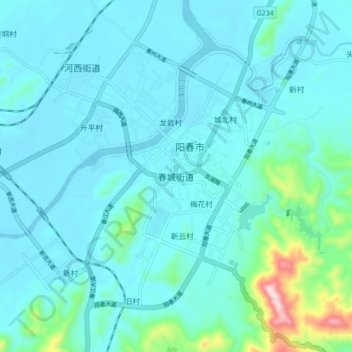
Name: 春城街道 topographic map, elevation, terrain.
Location: 春城街道, 阳春市, 阳江市, 广东省, 中国 (22.12636 111.74292 22.20636 111.82292)
Average elevation: 58 m
Minimum elevation: 7 m
Maximum elevation: 422 m
Other topographic maps
Click on a map to view its topography, its elevation and its terrain.