
瓜沥镇 topographic map
Interactive map
Click on the map to display elevation.
About this map
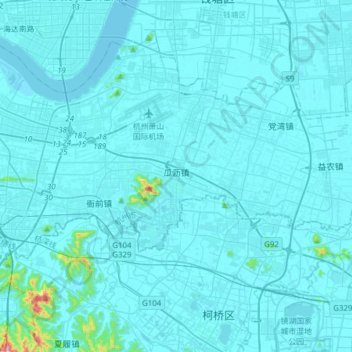
Name: 瓜沥镇 topographic map, elevation, terrain.
Location: 瓜沥镇, 萧山区, 杭州市, 浙江省, 310025, 中国 (30.13244 120.36150 30.24577 120.67037)
Average elevation: 14 m
Minimum elevation: 0 m
Maximum elevation: 405 m
Other topographic maps
Click on a map to view its topography, its elevation and its terrain.