
所前镇 topographic map
Interactive map
Click on the map to display elevation.
About this map
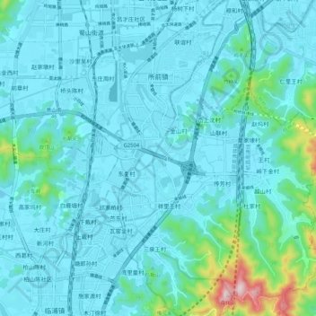
Name: 所前镇 topographic map, elevation, terrain.
Location: 所前镇, 萧山区, 杭州市, 浙江省, 中国 (30.04630 120.24159 30.13613 120.33407)
Average elevation: 49 m
Minimum elevation: -2 m
Maximum elevation: 432 m
Other topographic maps
Click on a map to view its topography, its elevation and its terrain.