
Frederikshaab Glacier topographic map
Interactive map
Click on the map to display elevation.
About this map
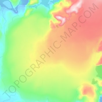
Name: Frederikshaab Glacier topographic map, elevation, terrain.
Location: Frederikshaab Glacier, Sermersooq, Greenland (62.45642 -50.18166 62.64272 -49.74409)
Average elevation: 340 m
Minimum elevation: -12 m
Maximum elevation: 907 m
Other topographic maps
Click on a map to view its topography, its elevation and its terrain.
Traill-iup Immikkeertivi
Traill-iup Immikkeertivi, Sermersooq, Greenland
Average elevation: 0 m
Geographical Society Island
Geographical Society Island, Sermersooq, Greenland
Average elevation: 178 m