
Kujalleq topographic map
Interactive map
Click on the map to display elevation.
About this map
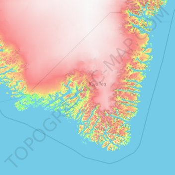
Name: Kujalleq topographic map, elevation, terrain.
Location: Kujalleq, Greenland (59.51539 -49.03148 62.75806 -41.25332)
Average elevation: 784 m
Minimum elevation: -5 m
Maximum elevation: 2,854 m
Other topographic maps
Click on a map to view its topography, its elevation and its terrain.