
平阳镇 topographic map
Interactive map
Click on the map to display elevation.
About this map
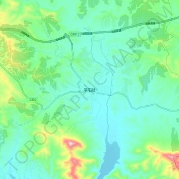
Name: 平阳镇 topographic map, elevation, terrain.
Location: 平阳镇, 保定市, 河北省, 中国 (38.77830 114.43009 38.85830 114.51009)
Average elevation: 293 m
Minimum elevation: 187 m
Maximum elevation: 653 m
Other topographic maps
Click on a map to view its topography, its elevation and its terrain.