
清苑镇 topographic map
Interactive map
Click on the map to display elevation.
About this map
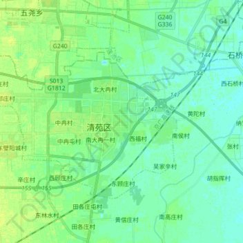
Name: 清苑镇 topographic map, elevation, terrain.
Location: 清苑镇, 清苑区, 保定市, 河北省, 071100, 中国 (38.73419 115.38801 38.80351 115.52831)
Average elevation: 17 m
Minimum elevation: 12 m
Maximum elevation: 24 m
Other topographic maps
Click on a map to view its topography, its elevation and its terrain.