
Thank you for supporting this site ❤️
Make a donation
Make a donation
São Bartolomeu topographic map
Click on the map to display elevation.
Thank you for supporting this site ❤️
Make a donation
Make a donation
About this map
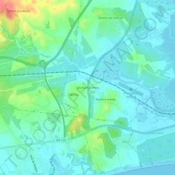
Name: São Bartolomeu topographic map, elevation, terrain.
Location: São Bartolomeu, Castro Marim, Faro, 8950-256, Portugal (37.17396 -7.50467 37.21396 -7.46467)
Average elevation: 17 m
Minimum elevation: -3 m
Maximum elevation: 77 m
Thank you for supporting this site ❤️
Make a donation
Make a donation
Other topographic maps
Click on a map to view its topography, its elevation and its terrain.