
古城镇 topographic map
Interactive map
Click on the map to display elevation.
About this map
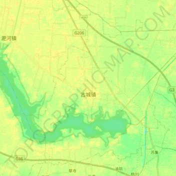
Name: 古城镇 topographic map, elevation, terrain.
Location: 古城镇, 怀远县, 蚌埠市, 安徽省, 中国 (33.03050 117.07936 33.14260 117.23208)
Average elevation: 21 m
Minimum elevation: 10 m
Maximum elevation: 27 m
Other topographic maps
Click on a map to view its topography, its elevation and its terrain.